Geological Terrain Mapping is used as a planning tool for physical development.
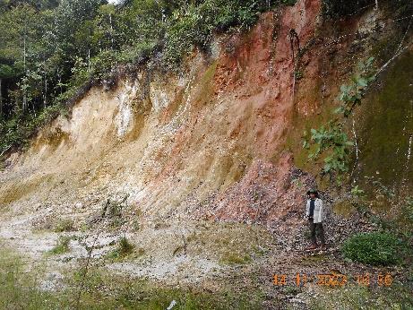
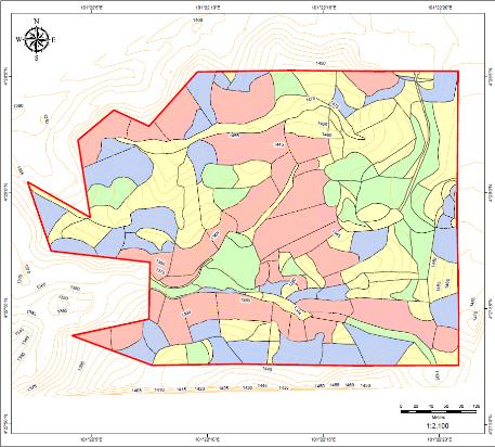
✓ A terrain map shows an area of land divided into terrain map units defined by similar elevation, slope, landform, rock exposure, surficial material type and thickness.
✓ Examples of thematic map produced are:
• Terrain classification map
• Slope gradient map
• Terrain morphology map
• Erosion and instability map
• Construction suitability map
• Engineering geological map
✓ Applications of GTM are:
• Terrain hazard and constraint identification.
• Manage landslide risk.
• Watershed assessment.
• Such information can be used to assist engineers and planners to prepare a layout plan, design foundation system and choose the most appropriate type and method of construction.